Technical specifications
| Parameter | Value |
|---|---|
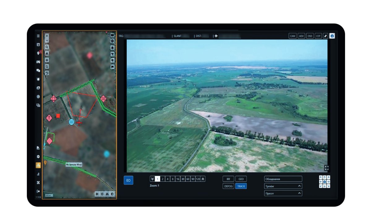
| Platforms | Runs seamlessly on both laptops and tablets |
| Seamless data exchange | Real-time sharing of coordinates and visual information with military or civilian systems |
| Multi-layer mapping | Use offline or online maps with multiple layers for full situational awareness |
| Built-in image editor | Highlight, adjust, and annotate video materials to emphasize mission-critical elements |
| Augmented reality overlay | Identify and mark objects directly on the video feed |
| Precise coordinate calculation | Automatic geolocation of targets with high accuracy |
| Smart zoom and photo tools | Enhance key visuals with zoom and built-in editing tools for better analysis |
| Flexible access | Control payloads from any device — whether in the field or from a command center |
| Ideal for | Gas, oil, and power line inspections; solar power plant inspections; wildlife monitoring; agriculture; forest fire monitoring and prevention; mining industry |